
Fleet
Survey Vessels
Survey Vessels
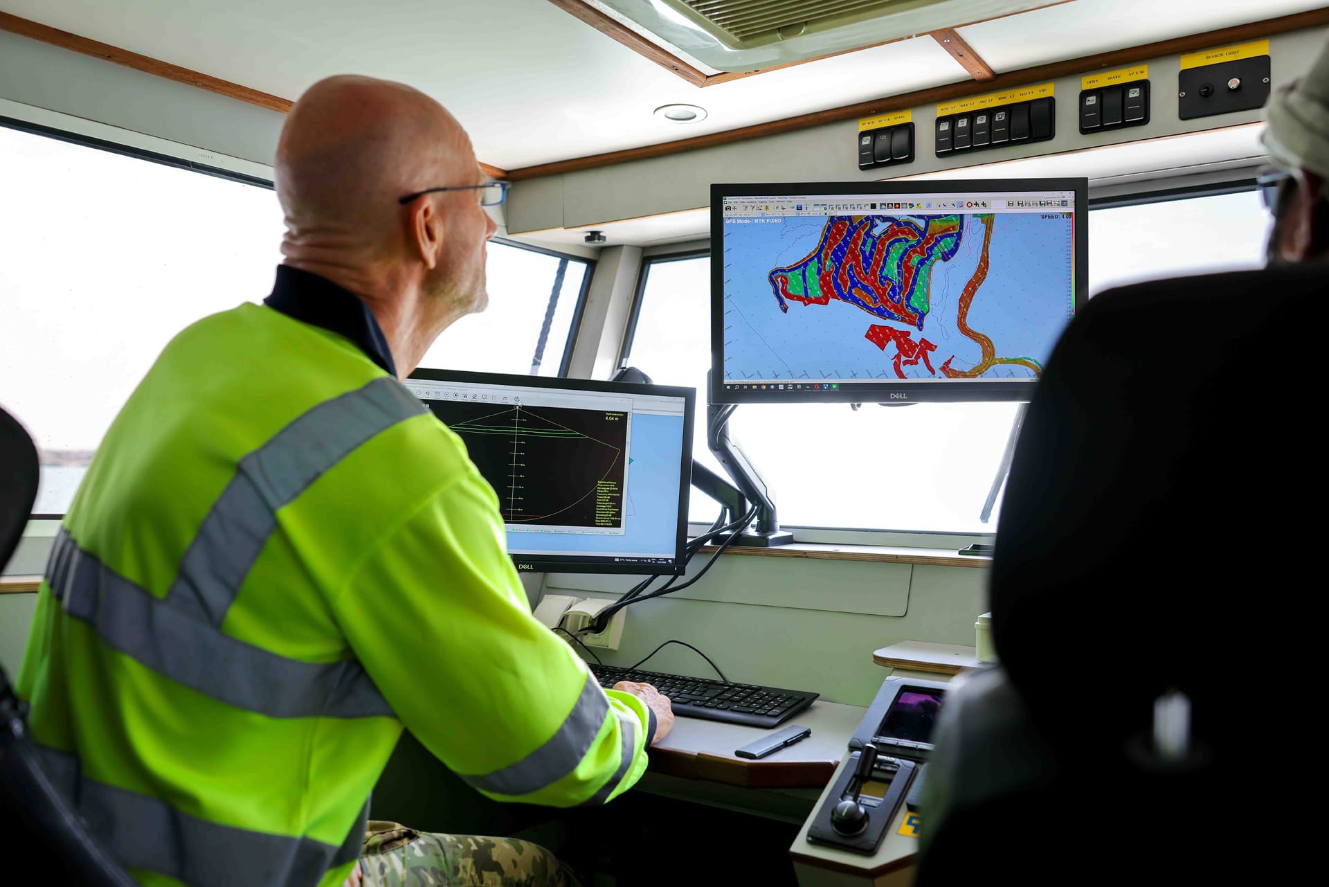
Topographic and hydrographic surveys are a key part of dredging and reclamation operations, and Gulf Cobla has always been a self-provider for the surveys associated with the works.
The launches are small and shallow enough to work right up to a bund or a quay wall, which is where the tolerance usually matters most.
What we operate
4 items, listed as published. Figures are the company's own; nothing here is estimated.
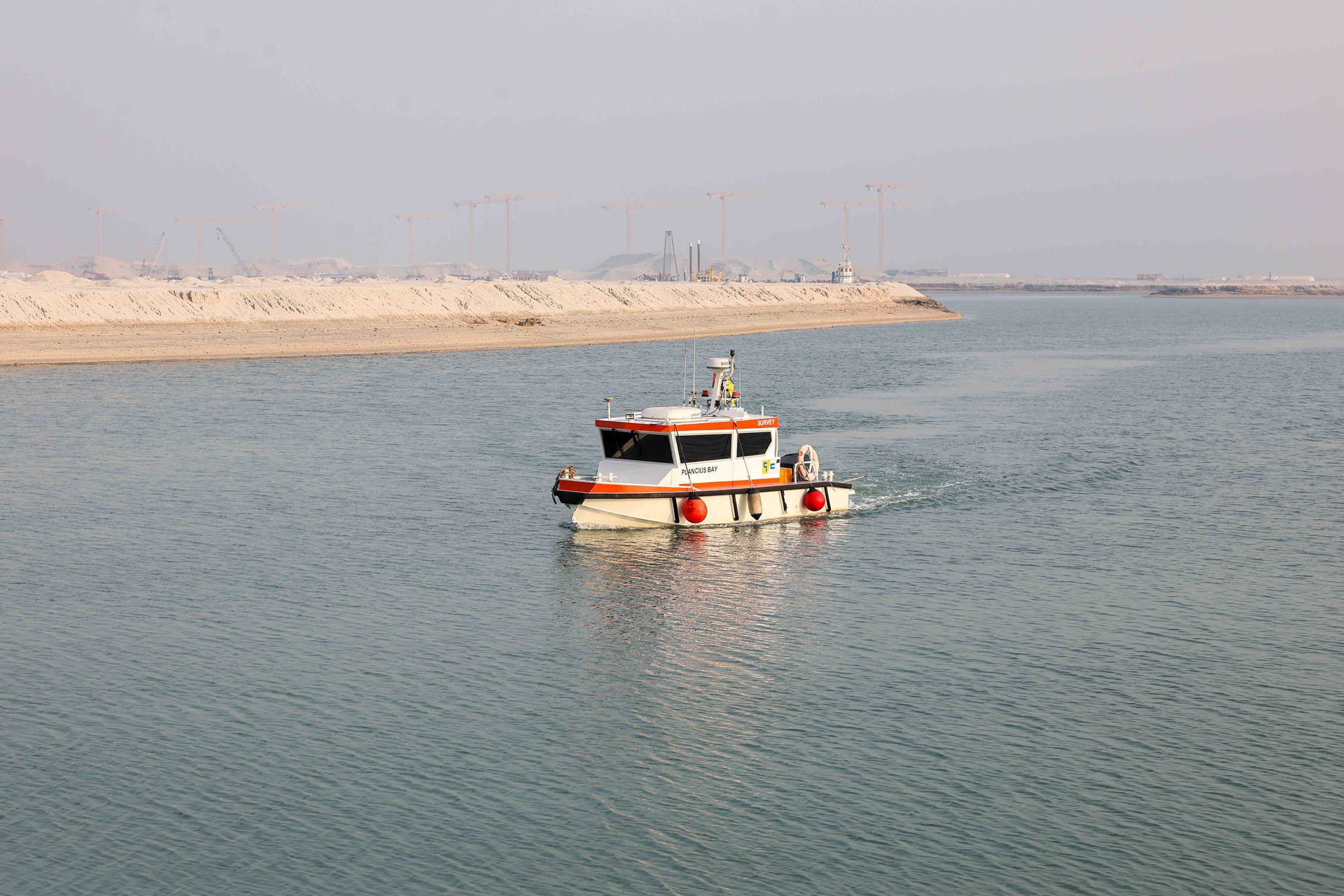
- “Plancius Bay”Survey systemMultibeamApplicationHigh accuracy surveys
- “Mercator Bay”Survey systemSingle and MultibeamApplicationHigh accuracy shallow water surveys
- “Hondius Bay”Survey systemSingle beamApplicationHigh accuracy shallow water surveys
- “Dolfin Bay”Survey systemSingle beamApplicationEmergency vessel for survey activities
In service
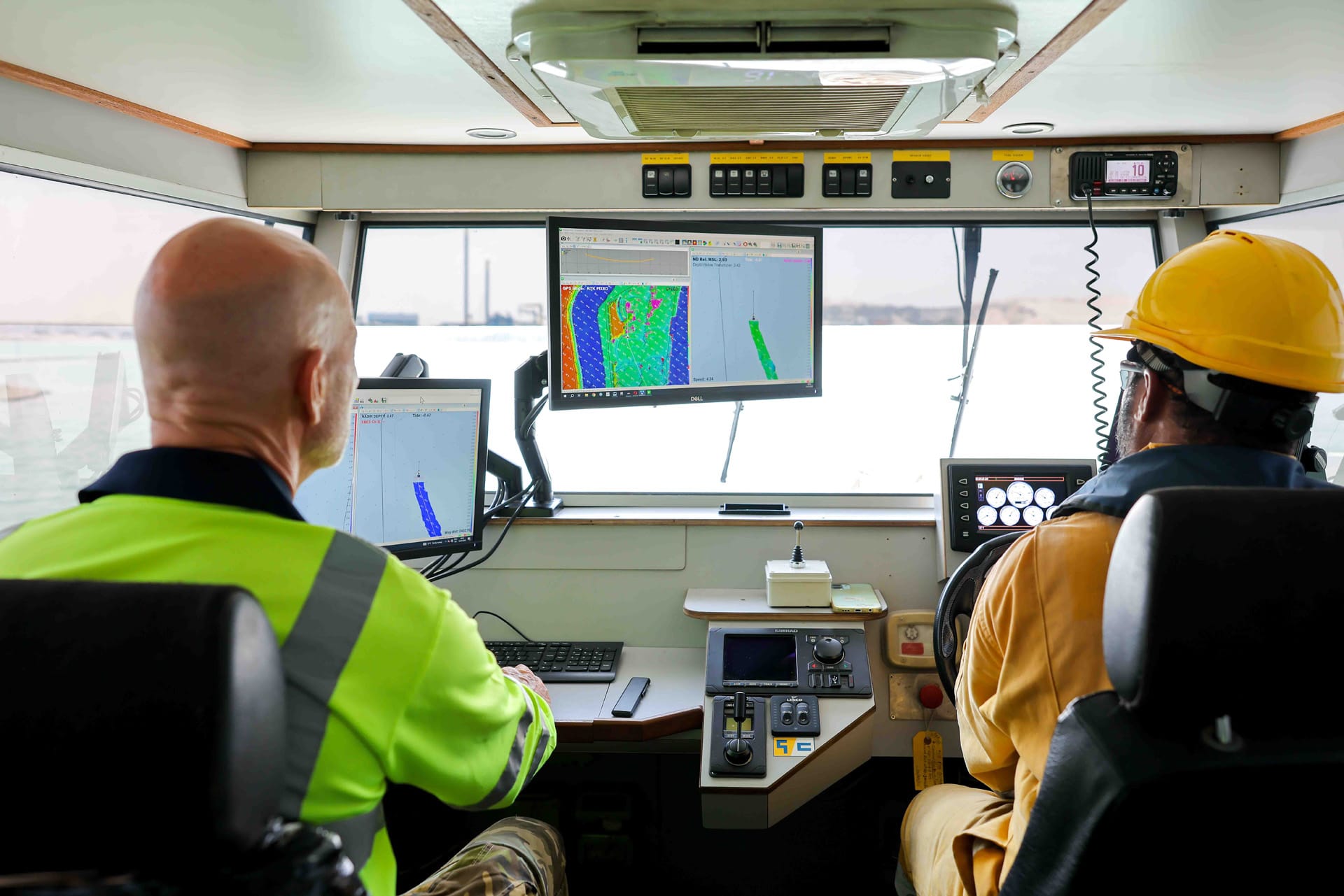
Survey Vessels at work
Launch dimensions
From the company profile equipment tables. Published for the three launches where dimensions are given.
| Vessel | Type | Dimensions | Engines | Purpose |
|---|---|---|---|---|
| Plancius Bay | Survey vessel (multibeam) | 8.0 × 2.9 m | 1 × 150 hp diesel | RTK hydrographic surveys |
| Mercator Bay | Survey vessel (multibeam) | 7.0 × 2.8 m | 2 × 115 hp petrol | RTK hydrographic surveys |
| Hondius Bay | Survey vessel (single beam) | 6.4 × 2.5 m | 150 hp diesel | RTK hydrographic surveys |
Rest of the fleet
Everything Gulf Cobla owns and crews, grouped the way a project actually uses it.
Have a Requirement?
Connect with Our Experts.
DUBAI HQ
Jebel Ali Industrial Area 2, Dubai, United Arab Emirates