Services

Survey Services

Gulf Cobla operates a fully equipped survey department to demonstrate compliance with dredging specifications at every stage of a project.

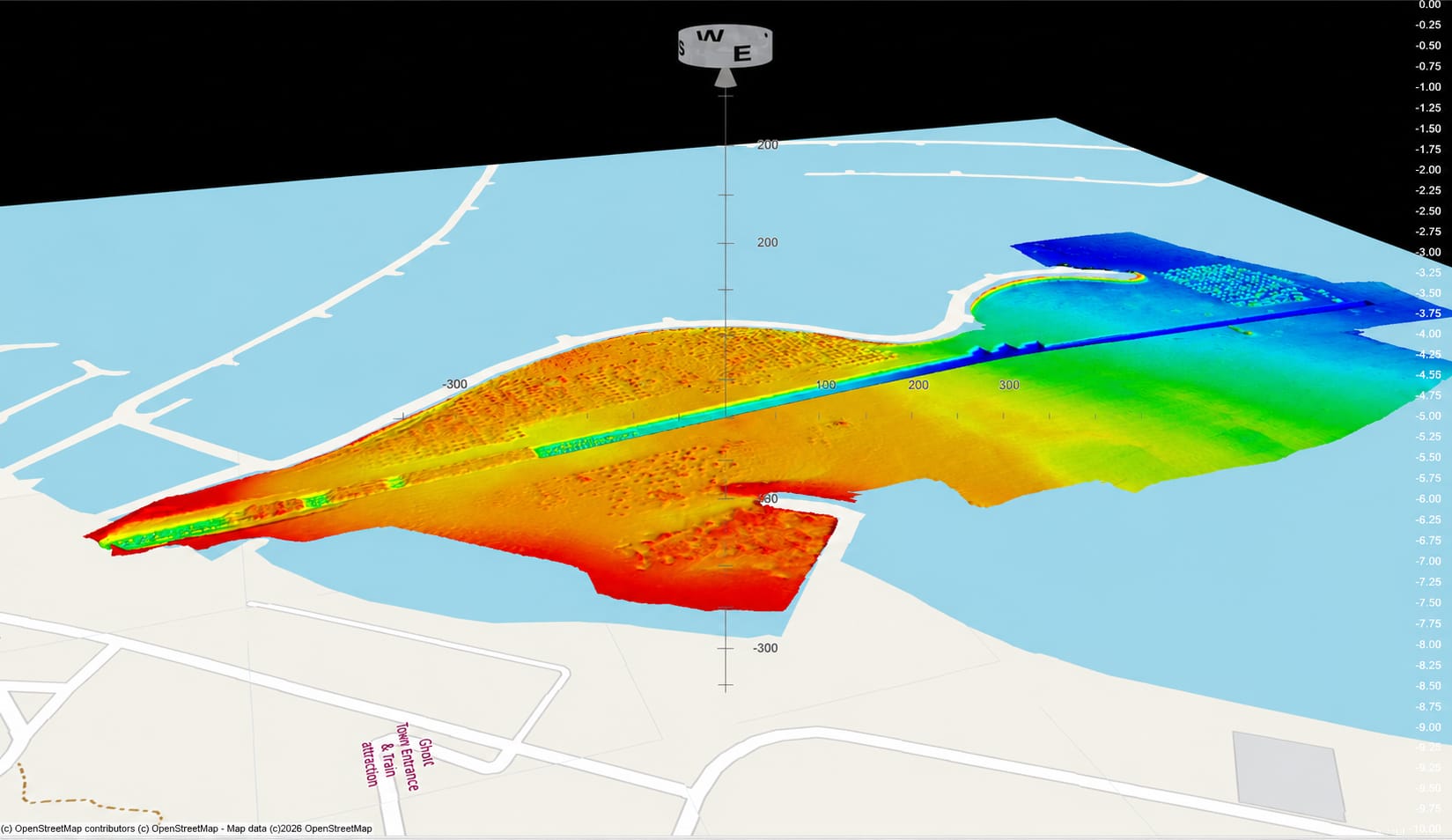
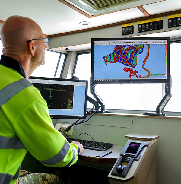
The Survey Department operates MBES (Multibeam Echosounder) survey vessels equipped with an integrated suite of MBES and SBES acoustic systems, GNSS positioning and motion-sensing technology, navigation and data-acquisition software. The survey spread accurately measures and monitors seabed depth, morphology, objects, and underwater infrastructure, while able to generate bathymetric maps and deliverables such as 3D presentations, volume calculations, and cross sections.

A Fully Equipped, In-House Survey Department

Providing survey services from site assessment through project completion, the survey department ensures accuracy control, data quality, and effective data management, delivering essential information to dredging and reclamation teams throughout each project stage.
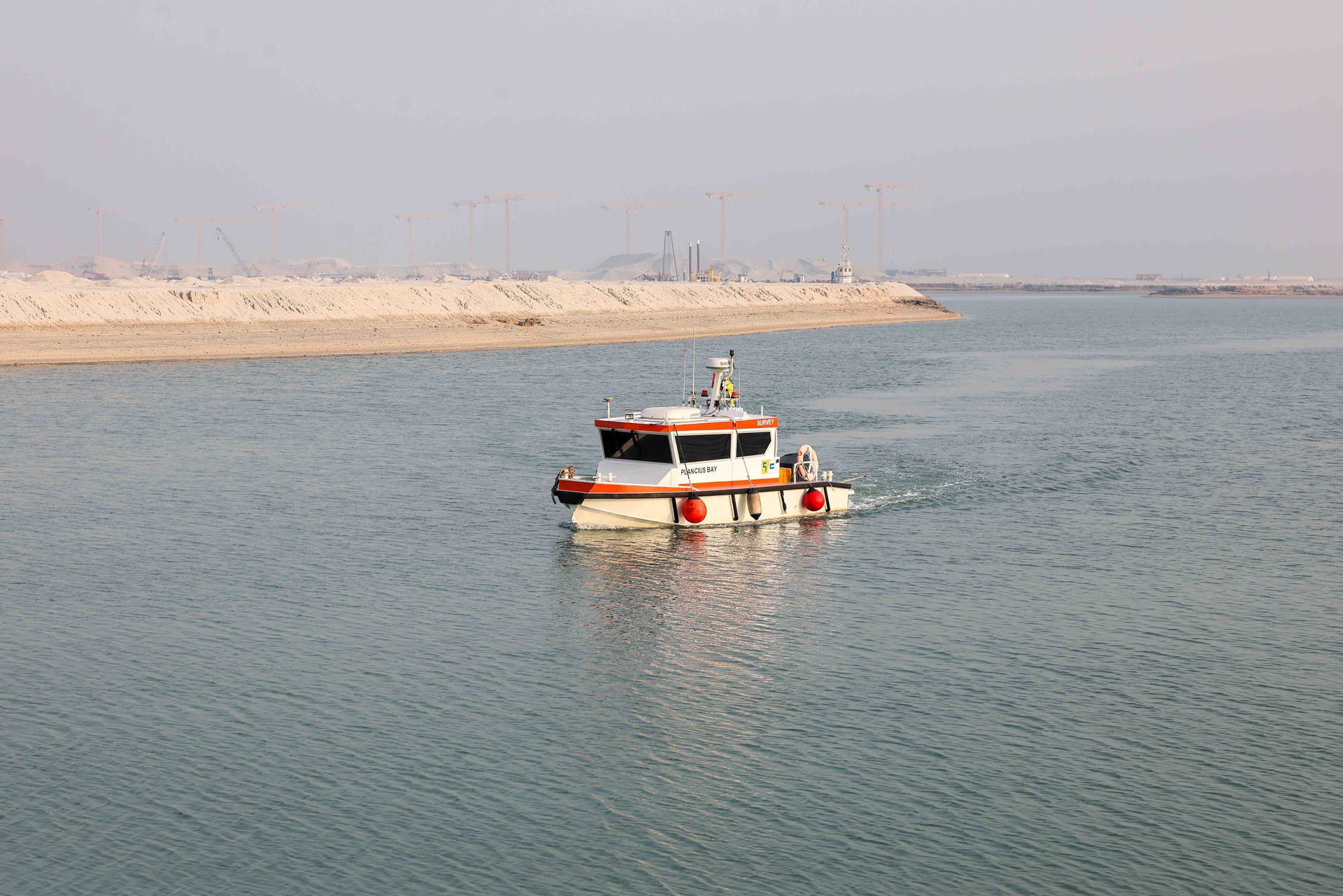
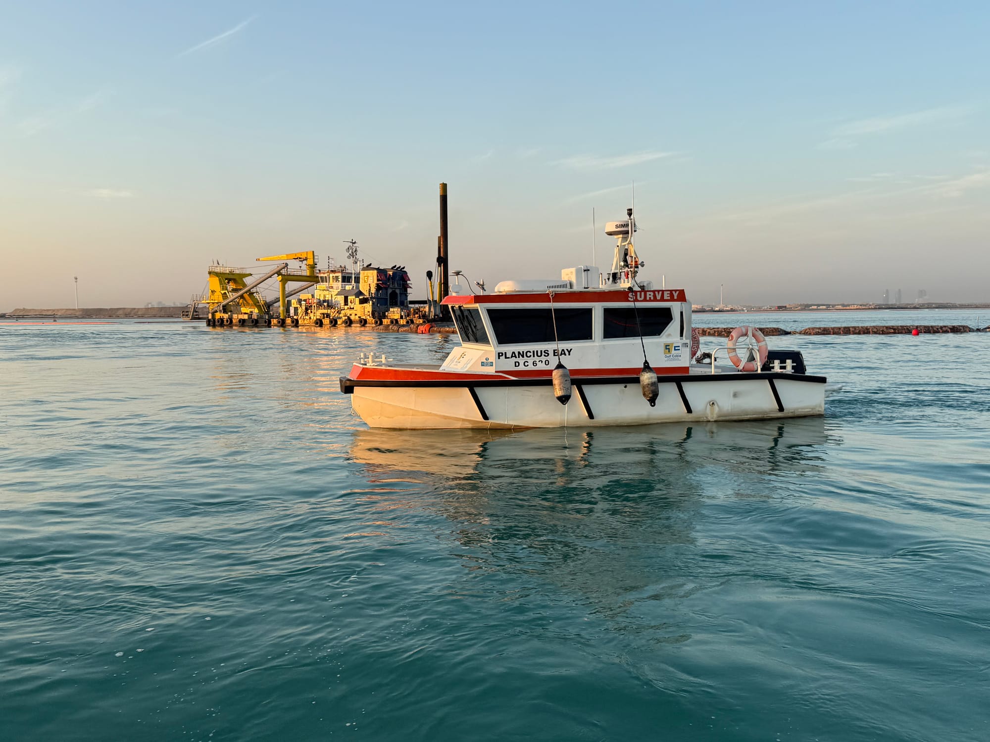
Orange and white survey launch named Plancius Bay marked Survey underway in a dredged channel.

Up-to-Date Hardware, Accurate Results

The survey department uses modern GNSS positioning, motion-sensing equipment, and MBES/SBES acoustic systems to deliver accurate hydrographic and topographic survey support.

Gulf Cobla crews assembled in coveralls and hard hats for a briefing inside the yard shed.

A Team Ready for Internal and External Projects

Our survey team is available for both internal and external survey activities. We take pride in demonstrating that high-quality survey work can go hand-in-hand with competitive rates.

Gulf Cobla survey team on the Al Hamra trench works at Ras Al Khaimah.

Have a Requirement?
Connect with Our Experts.

DUBAI HQ

Jebel Ali Industrial Area 2, Dubai, United Arab Emirates

PHONE +971 4 803 7777 EMAIL gc-info@gulfcobla.com